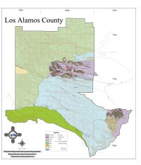
Geographic Information System Services
GIS Services is part of the Information Technology Division. The general mission of the GIS program is to support Los Alamos County government with geographic information technology for analysis and decision-support as it pertains to geospatial information.
Interactive Assessor Parcel Map and instructions
Interactive Los Alamos and Jemez Trails Map
Interactive Los Alamos Historical Imagery Map
Interactive Los Alamos and Jemez Survey Benchmarks Map
GPS CORS base station information for LANM
State and National Mapping Resources
New Mexico Road Conditions
Check road conditions and weather advisories in New Mexico by using this interactive web application.
New Mexico Resource GIS Program
Provides access to data, training, and technical support for geographic information users, as well as those who desire to incorporate geographic information into their processes and applications.
New Mexico Energy, Minerals and Natural Resources Department
Find out how State department is striving to position New Mexico as a national leader in the energy and natural resources areas.
New Mexico BLM
Find out more about New Mexico from the Bureau of Land Management.
USGS The National Map
The geographic information available from The National Map includes orthoimagery (aerial photographs), elevation, geographic names, hydrography, boundaries, transportation, structures, and land cover.
Global Positioning System
Find out more about the U.S. space-based radionavigation system that provides reliable positioning, navigation, and timing services to civilian users on a continuous worldwide basis -- freely available to all.